 AI
AIFieldcraft guide
How to walk a line transect and record birds
Pace, stop rules, distance estimation, and recording conventions for Puerto Rico's forests and wetlands.
Reviewed: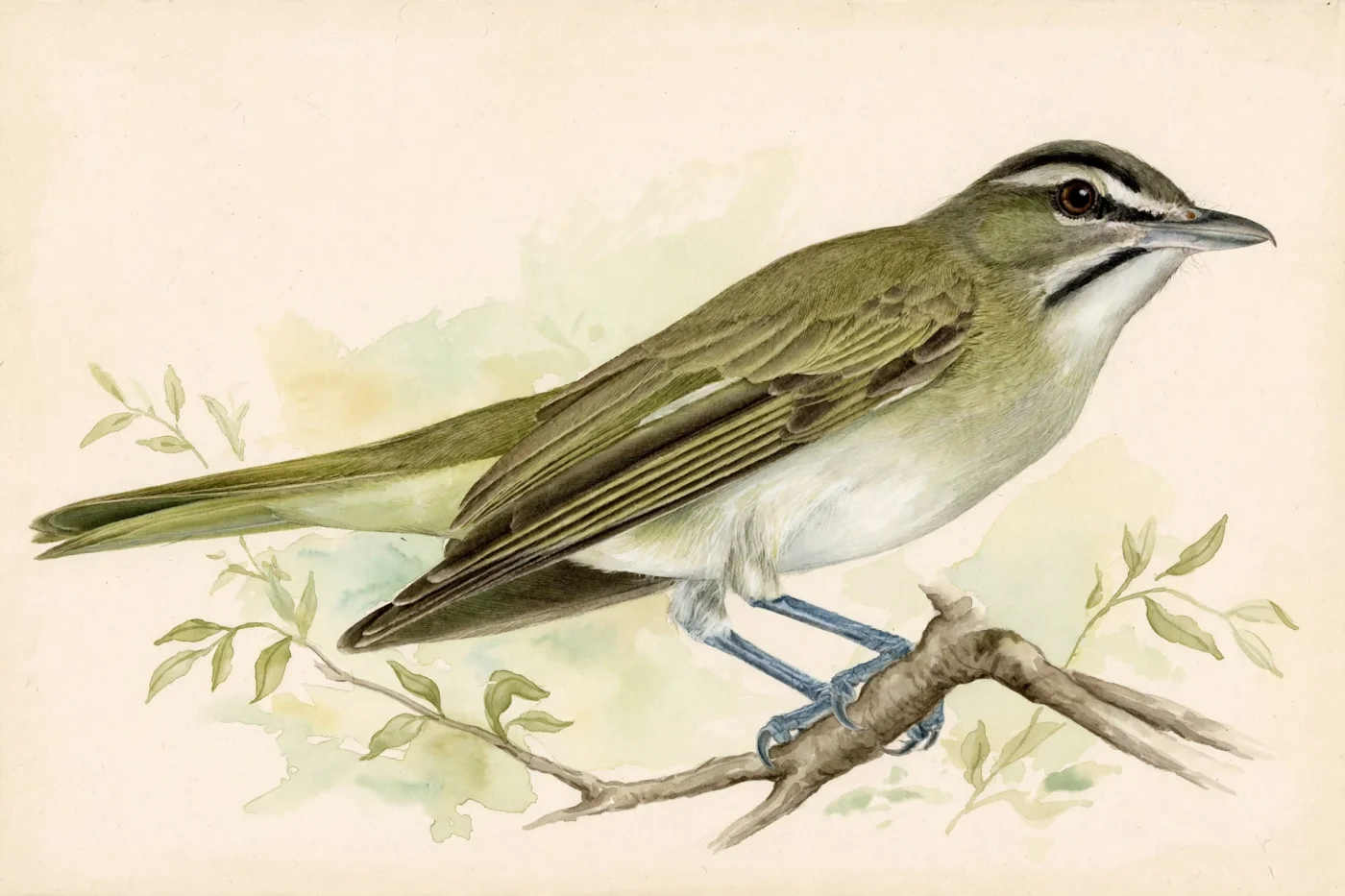
Prepared with AI assistance and linked sources. Illustrations are not field photographs.
A transect is not just a walk
A line transect is a fixed route walked at a steady pace to detect birds and note where and when they appear. The difference from a casual walk is discipline: same start point, same direction, same pace, and clear rules for deciding what counts and what does not. That repetition is what allows visits to be compared and changes to be detected.
This guide explains how to walk a transect without double-counting individuals or missing species, with emphasis on Puerto Rico's forests and wetlands. eBird's guidance on protocols, distance, and counting is the basis for recording; for formal survey design, the Caribbean landbird monitoring network offers PROALAS protocols adapted to the Caribbean. It does not replace a formal distance-sampling design, but it does produce orderly, reusable data.
Fieldcraft guide
Three keys to the transect
1 kmeBird's general checklist preferenceeBird strongly prefers checklists of 1 km or less and recommends keeping Traveling checklists under 8 km (5 mi). This is eBird's general checklist preference, not a transect-specific standard.
15 minRunning-total intervaleBird recommends updating running totals at least every 15 minutes.
ÚnicaDistance to reportOnly the unique distance traveled; repeated trail sections are not added.
01
Prepare the route and the checklist before walking
Define the transect as a line with clear start and end points. If you will walk it out and back, decide from the start whether you will keep one checklist or two. eBird strongly prefers short checklists, ideally 1 km or less. Separately, eBird encourages submitting one checklist for the trip in and another for the trip out when the same trail section is covered out-and-back, because that provides information on detectability under different conditions. If you prefer a single checklist, record only the one-way distance and the total time spent traveling both out and back.
Before starting, open eBird Mobile with tracking on if available. The app estimates distance and duration, works without cell service, and sets the protocol to Traveling when you move away from your starting point; Stationary applies if you stay within about 30 m of the starting point. If the track fails or veers off, first reduce the total distance to what you actually covered; if the track is really inaccurate, delete it and enter the unique distance manually. If you are not using eBird Mobile tracks, or if you are entering a Traveling checklist on the website, place the checklist location near the middle of the route, in habitat that best represents the general habitat you will survey.
02
Pace, stops, and decision rules
As a practical field suggestion, not a prescribed protocol, walk at a slow, steady pace, slower than a recreational walk. Take brief, frequent pauses to listen rather than long, irregular stops. The practical rule is to stop when a new bird is detected, identify it confidently, and continue; do not chase birds off the transect or backtrack to confirm a doubtful identification. Birds identified only after leaving the line should not enter the transect checklist.
To avoid double-counting, apply a conservative rule: if you suspect a bird was already recorded, do not add it. eBird recommends being conservative on the return trip and recording birds only if you suspect they are new individuals. A male of a species seen at the start and a female farther along are two individuals; the same male in the same place on the way back is one. That logic applies equally in dense forest and open wetland.
03
Estimate distances and record what matters
Distance to the bird is a key piece of data for interpreting detections. As a practical suggestion, practice with fixed objects before the outing: mentally mark 10 m, 25 m, and 50 m along the trail. When you detect a bird, note whether it was near the line, at medium distance, or far, and whether it was seen or only heard. That information allows visits to be compared and helps explain why some species are detected more in certain habitats. This is not an eBird or PROALAS distance-band convention; it is a suggested field practice.
In eBird, record exact counts when you can and use X only for species identified but not counted. A count of 1 means exactly one individual. Keep running totals at least every 15 minutes so numbers do not become unmanageable. If the transect changes major habitat, start a new checklist; eBird recommends starting a new checklist when you change locations, change major habitat types, or change the type of birding.
04
Field checklist and practice exercise
Before heading out: define start and end, decide one or two checklists, turn on tracking, check start time, and carry a notebook or app. During the walk: move slowly, stop and listen, note each detection with approximate distance and type (seen or heard), keep running totals every 15 minutes, and apply the conservative rule on the return. At the end: verify the unique distance, correct the track if needed, check that the checklist is complete, and note any doubts in the comments.
Exercise: choose a familiar 500 m trail. Walk it twice on different weeks with the same pace and the same rules. On the first visit, note all birds seen or heard with estimated distance. On the second, repeat the exercise without looking at the previous list. Compare how many species match and how many were new. This is an informal practice drill, not a monitoring protocol; species overlap alone does not measure detection stability.
05
Formal protocols and Caribbean context
If your goal is long-term monitoring, consider the PROALAS protocols adapted to the Caribbean. The Caribbean landbird monitoring network offers training, manuals, and data sheets, and has held workshops on several islands. The consulted source lists an introductory workshop in Puerto Rico on July 1, 2023 at Hacienda La Esperanza Nature Reserve, held in conjunction with the AOS-BC 2023 Conference. These protocols incorporate eBird for survey data entry and storage.
The consulted sources do not include an official Puerto Rico-specific transect protocol with prescribed pace, stop rules, or distance bands. The pace and band figures used in this guide are practical suggestions informed by general survey practice, not a Puerto Rico-specific standard. This guide is a practical suggestion, not a locally validated protocol.
Linked profiles
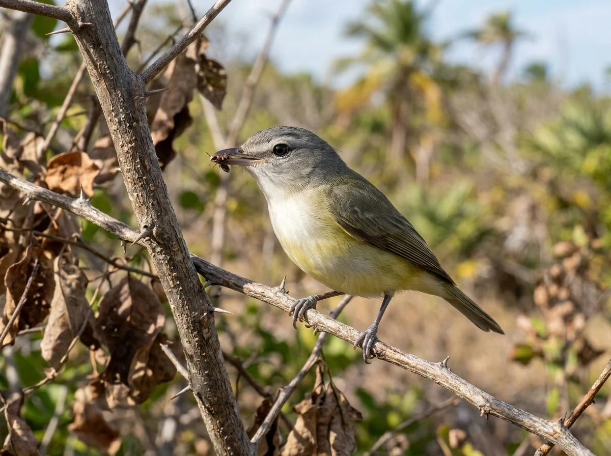
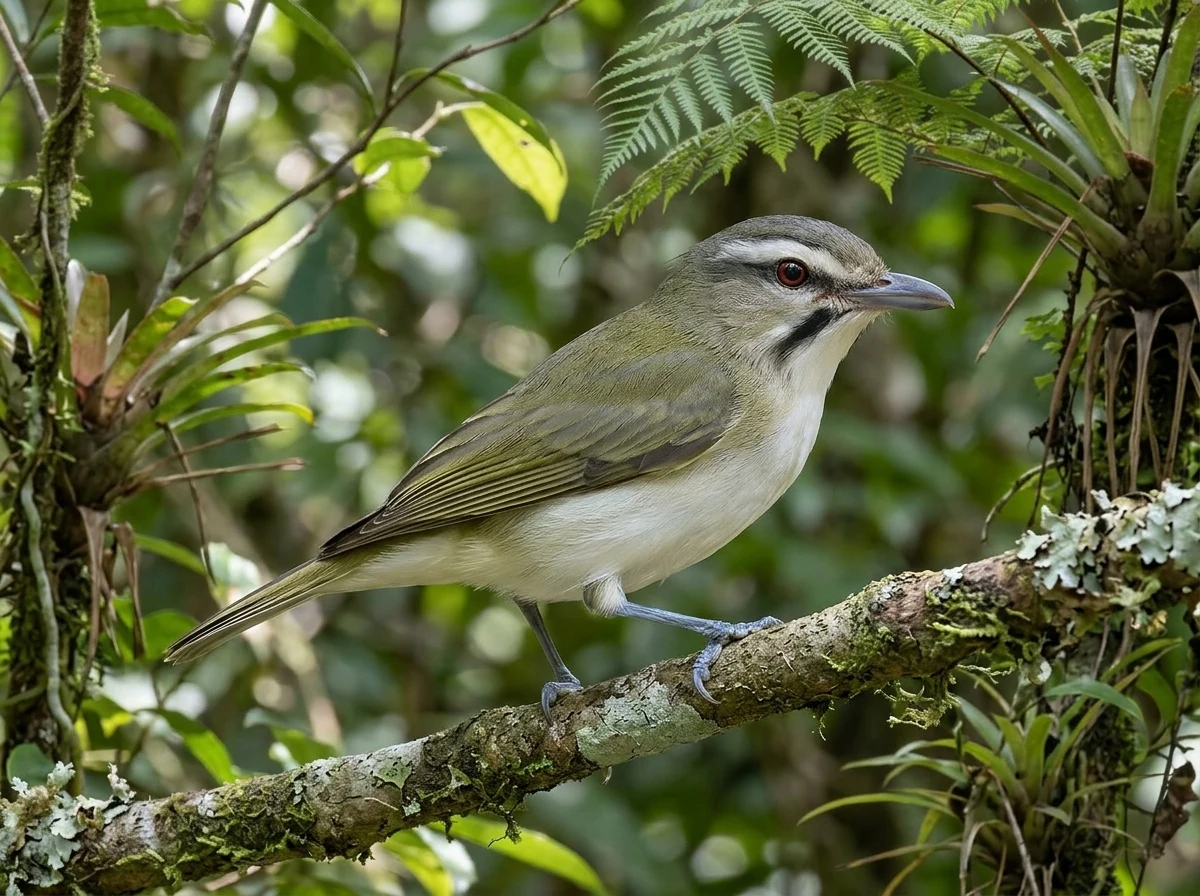
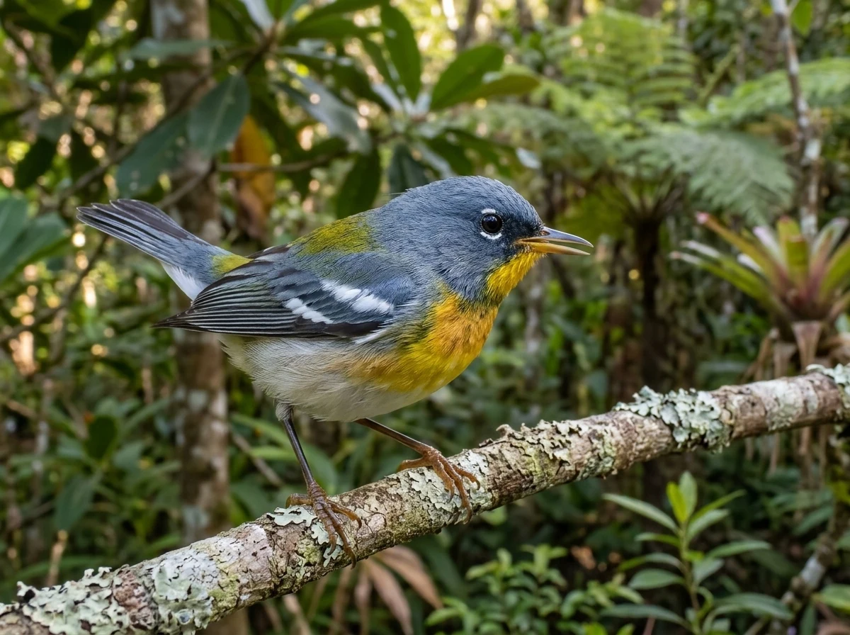
Species mentioned as illustrative context
These species are included only as illustrative context for what an observer might encounter on a transect. The methodological sources cited in this guide do not establish their current local presence or their association with Puerto Rico habitats; each species' occurrence is documented in the species catalog entries.


01
How long should a line transect be?
eBird strongly prefers checklists of 1 km or less and recommends keeping Traveling checklists under 8 km (5 mi). This is eBird's general checklist preference, not a transect-specific standard. For repeated monitoring, short, consistent routes are often more useful than long ones.
02
How do I avoid counting the same bird twice?
Apply a conservative rule: if you suspect you already recorded it, do not add it. On the return trip, record birds only if you believe they are new individuals. eBird recommends being conservative in that situation.
03
What distance do I report if I walk out and back?
Report only the unique distance, that is, the distance covered without counting repeated sections. On a simple out-and-back route, that unique distance equals the one-way distance. Do not add the repeated section. If you keep a single checklist, record the total time out and back, but the one-way distance.
04
When should I start a new checklist?
eBird suggests considering a new checklist when you change locations, change major habitat types, change the type of birding, after being stationary for more than an hour, or after traveling more than a mile. Applying that general rule, a change from forest to wetland would justify considering a new checklist.
05
Does eBird Mobile tracking work without cell service?
Yes. eBird states that tracking estimates distance and duration and works without cell service. If the track is inaccurate, reduce the distance to what you actually covered; if it is really inaccurate, delete it and enter the distance manually.
06
Is there an official transect protocol for Puerto Rico?
The consulted sources do not include an official Puerto Rico-specific transect protocol with prescribed pace, stops, or bands. The Caribbean monitoring network offers PROALAS adapted to the Caribbean, with manuals and data sheets, and held an introductory workshop in Puerto Rico on July 1, 2023 at Hacienda La Esperanza Nature Reserve, according to the network's workshop listing.
Keep exploring
Connected routes
Sources and review
The evidence is one link away.
These sources support the editorial scope of this guide. Bird profiles also retain their own taxonomy, occurrence, and conservation references.
Reviewed:
01↗02↗03↗04↗05↗06↗
Cornell Lab of Ornithology — eBird Help Center
eBird Protocols
Evidence for cited sections; consult the original document.Cornell Lab of Ornithology — eBird
How to report backtracking distance in eBird
Evidence for cited sections; consult the original document.Cornell Lab of Ornithology — eBird Help Center
eBird Best Practices
Evidence for cited sections; consult the original document.Cornell Lab of Ornithology — eBird Help Center
How to Count Birds
Evidence for cited sections; consult the original document.BirdsCaribbean
Caribbean Landbird Monitoring Network
Evidence for cited sections; consult the original document.BirdsCaribbean
Landbird Monitoring Resources
Evidence for cited sections; consult the original document.The atlas continues