 AI
AILimestone forest guide
Birds of Río Abajo
Karst transforms soil, caves, water, and canopy into a different forest. Río Abajo is also a recovery landscape, not a stage for chasing parrots.
Reviewed:Forest, limestone hills, and recovery form one story.
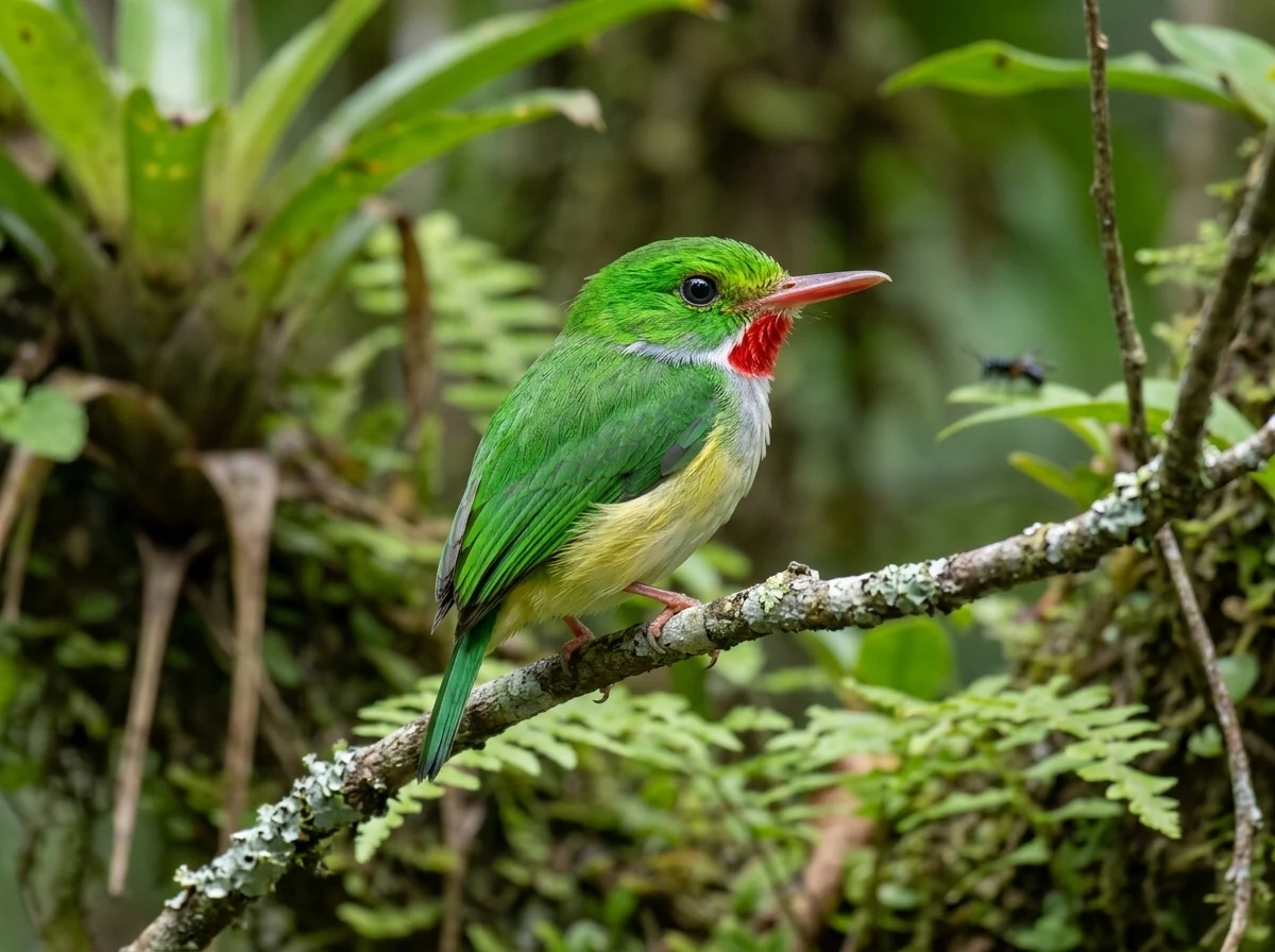
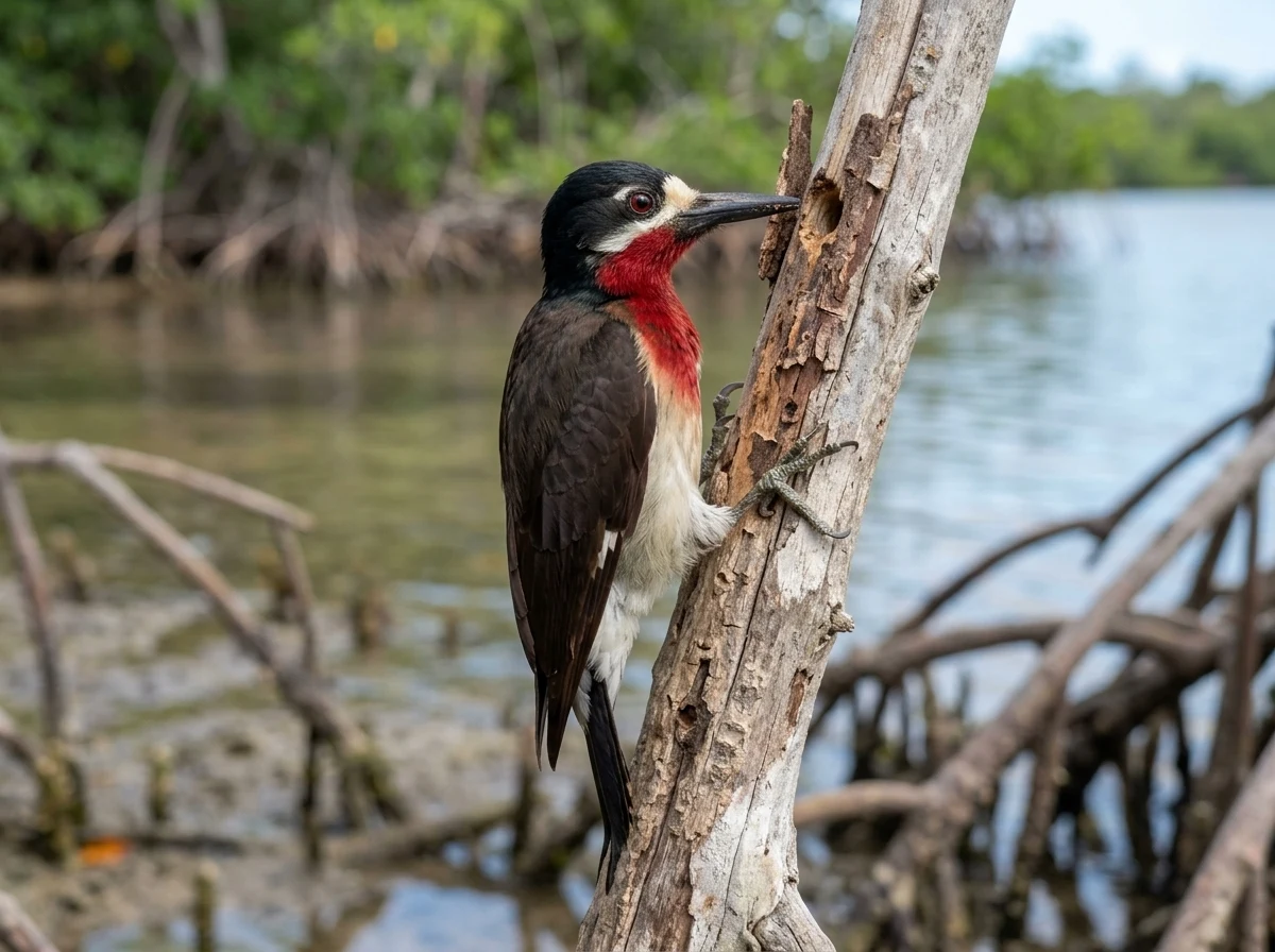
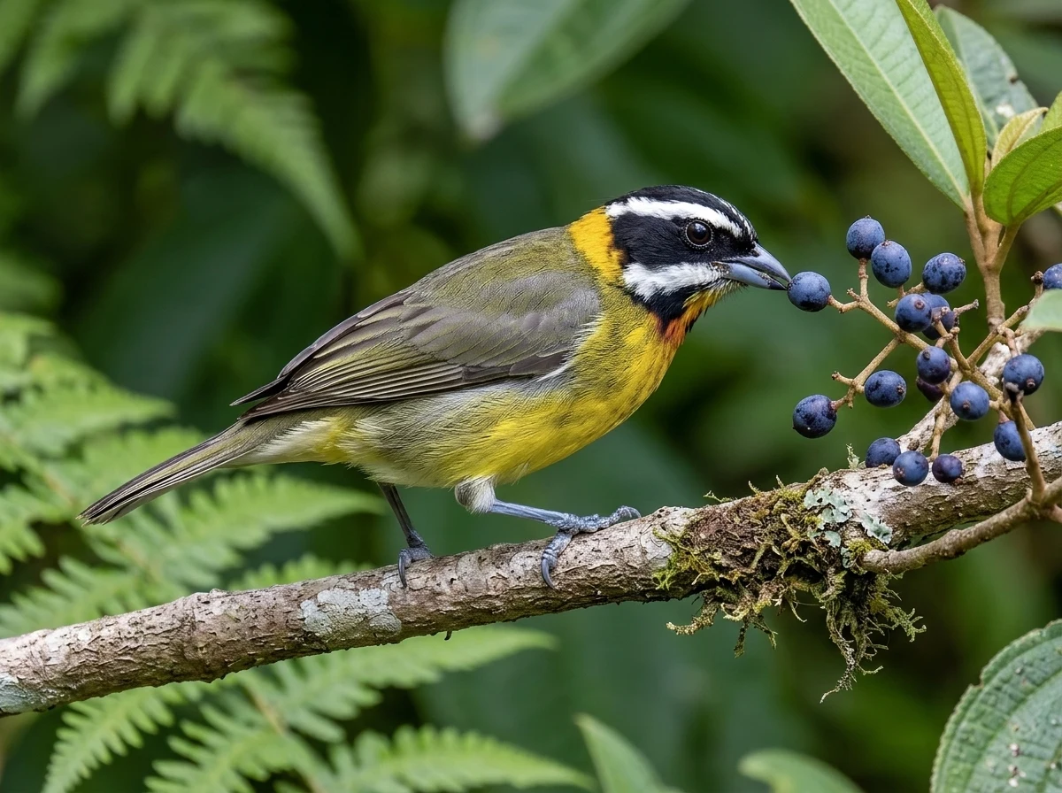
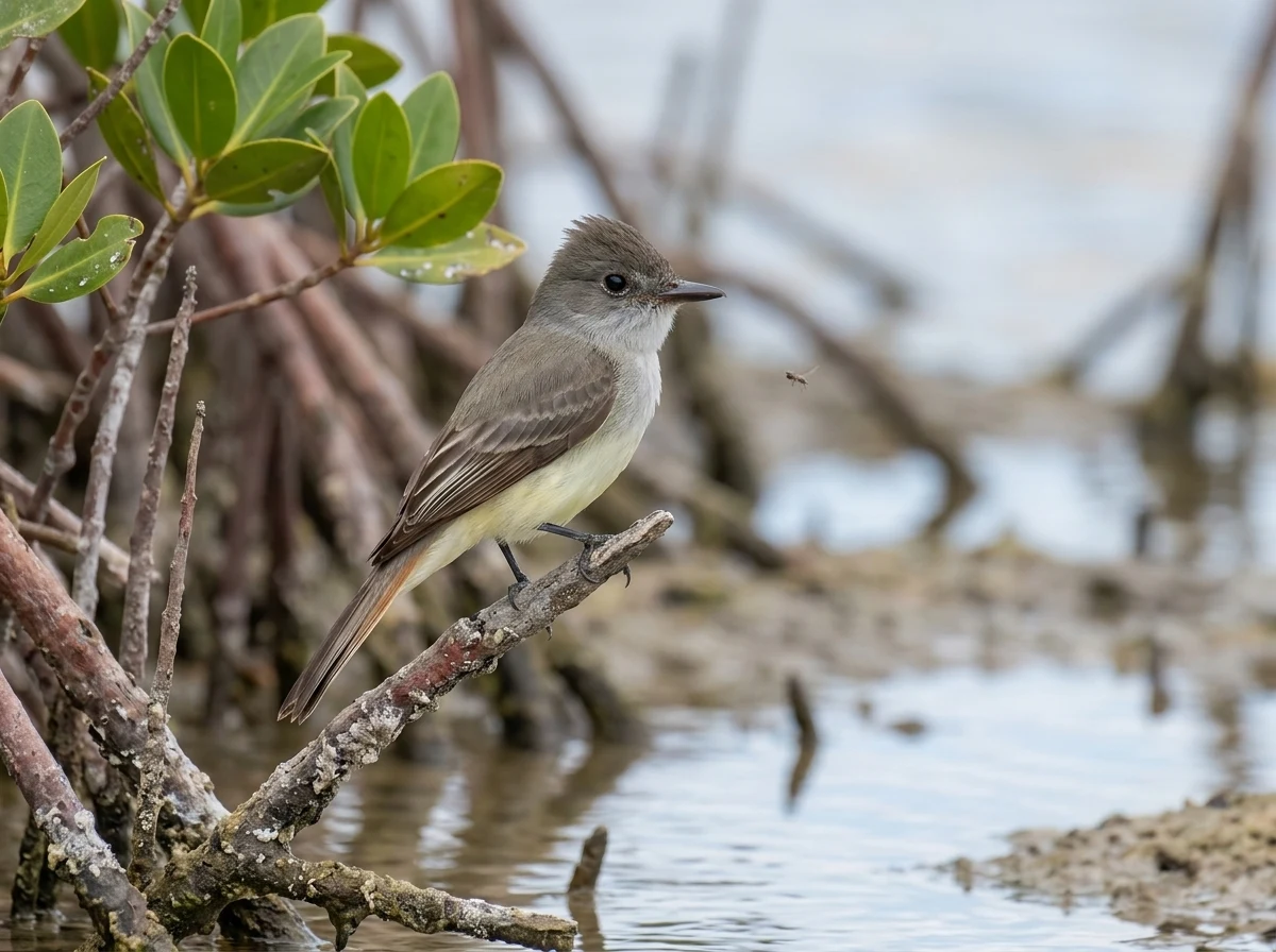
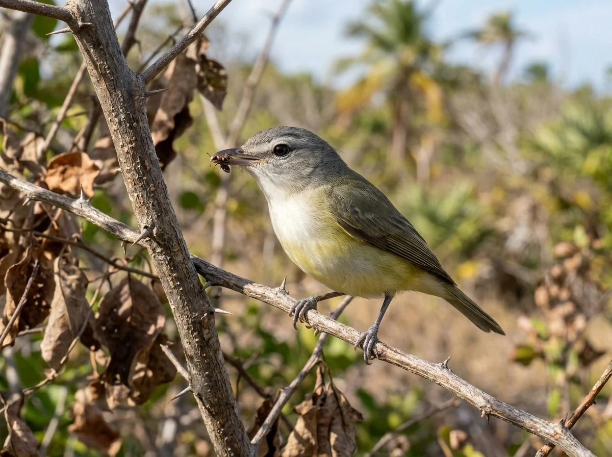
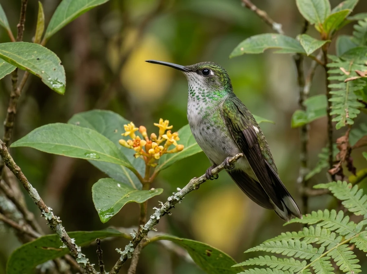
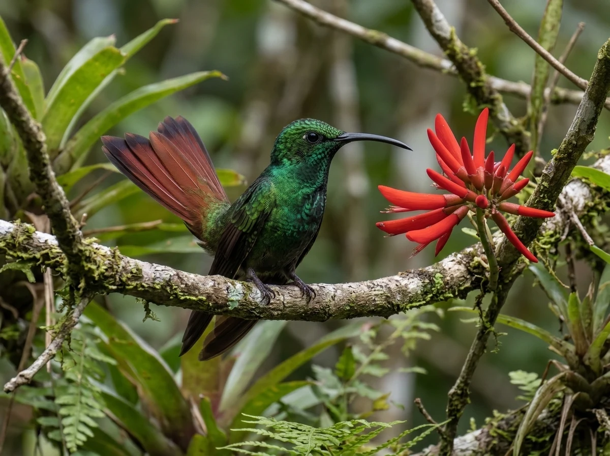
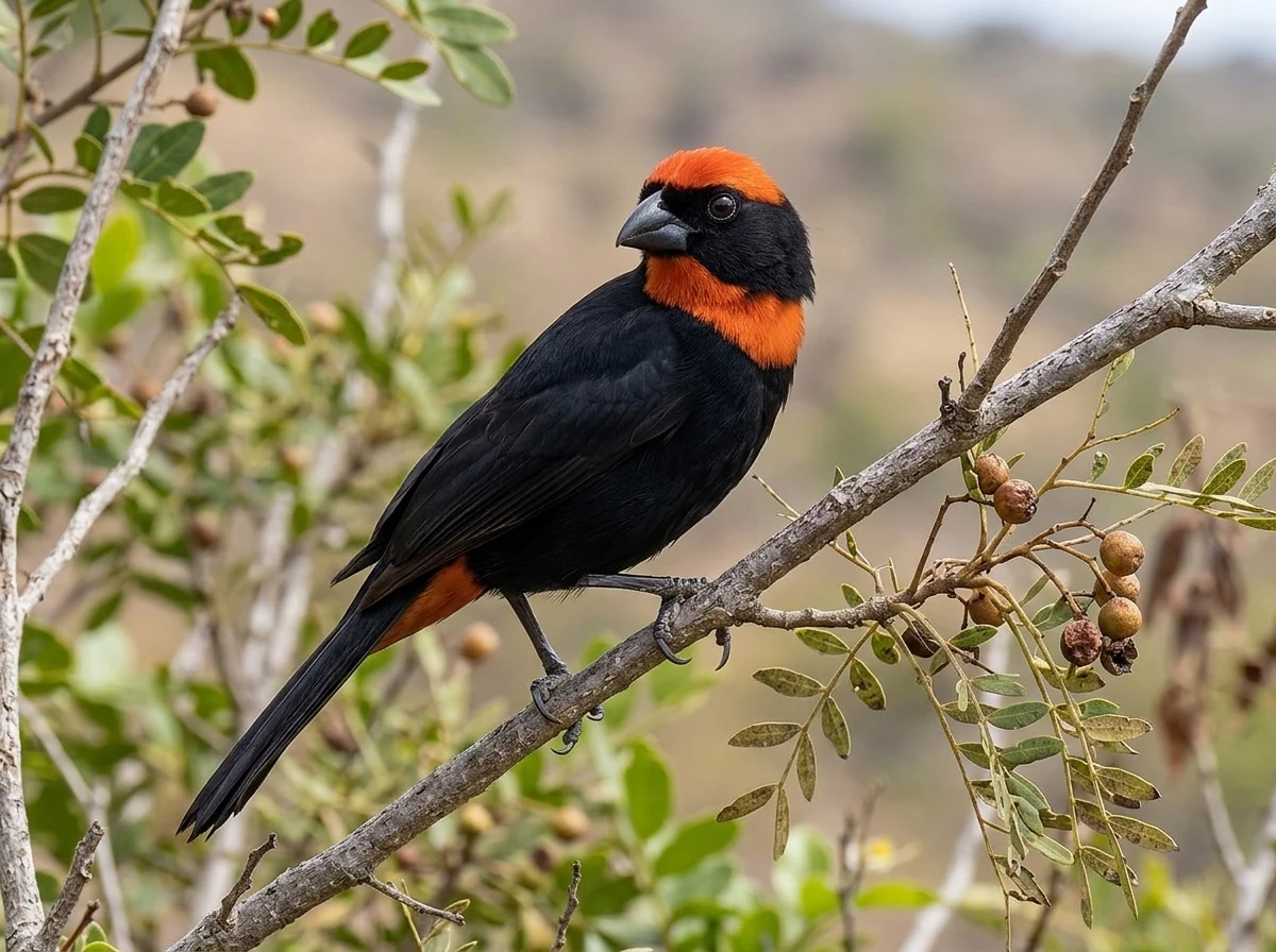
Río Abajo State Forest protects northern limestone landscape and a forest bird community. Puerto Rican Tody, Woodpecker, Spindalis, Flycatcher, Vireo, hummingbirds, and Bullfinch form a useful set for learning karst forest layers and voices.
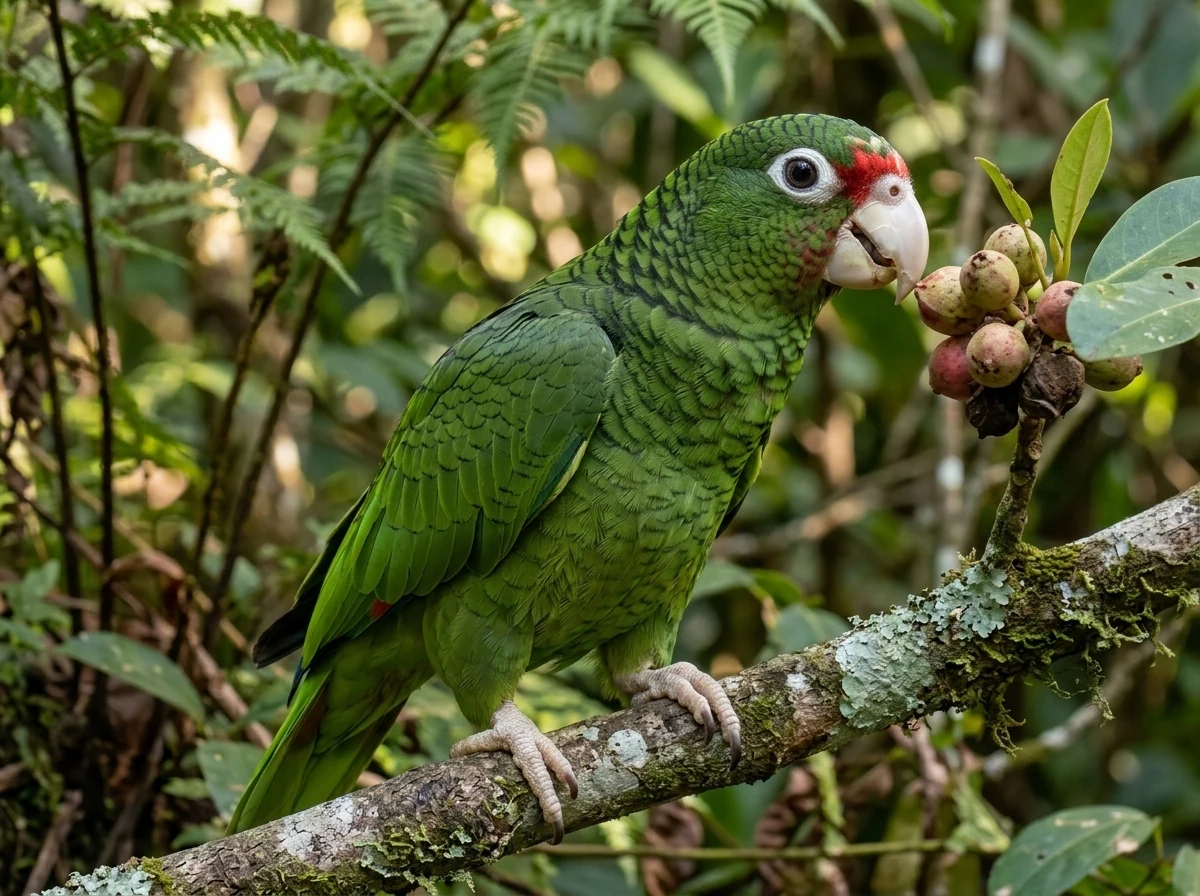
Río Abajo also hosts Puerto Rican Parrot recovery work. Current federal documentation presents it with El Yunque as a central program population. That increases the need to respect management zones, staff, closures, and sensitive locations.
Limestone forest guide
Three ways to prepare
9focal endemicsProfiles for studying voice, shape, and layer before arrival.
3observation layersUnderstory, trunks, and canopy require different searches.
1recovery ruleNever sacrifice distance or authorized access for a sighting.
01
Karst creates edges inside the forest
Limestone hills, depressions, and drainages create fast shifts in light and vegetation. An internal edge can concentrate fruit and insects without looking like a large clearing. Listen from stable points and inspect where branches converge, not only open sky.
Sound reflects among rock and vegetation. A voice that seems close may sit beyond a depression; record direction from more than one point before estimating distance.
02
Parrot: observe the recovery program from a distance
Puerto Rican Parrots may travel in pairs or groups, and voice helps detect movement above the canopy. A detection does not authorize following them, entering facilities, or approaching boxes, aviaries, release areas, or field staff.
Recovery success depends on continued management. Treat exact locations as sensitive and link to the official source instead of publishing improvised directions. An ethical sighting does not interrupt the work that made it possible.
03
Build a list by voice and forest layer
Puerto Rican Tody and Bullfinch may appear at low and middle levels; Woodpecker works trunks; Spindalis, hummingbirds, and other fruit-eaters use upper areas and edges. Flycatcher and Vireo can seem inconspicuous until their calls organize the search.
Choose one voice from each layer and alternate recordings before visiting. In the field, mark heard and seen separately. That distinction protects checklist quality and reduces the temptation to force a view with playback.
04
Access and conditions must be confirmed, not inherited
A management plan explains resources and zones, but does not guarantee that a road, trail, or facility is open today. Confirm with DNER or authorized operators, especially after hard rain or recovery work.
Do not publish a parrot point as though it were a permanent overlook. Share the species profile, federal source, and observation principles; educational information lasts longer and creates less pressure than a coordinate.
Linked profiles
Nine voices and shapes of karst
The selection prepares a visit; it does not reveal sensitive points or promise a parrot.
01
Are Puerto Rican Parrots at Río Abajo?
Yes. Río Abajo is a central region in the recovery program described by the Fish and Wildlife Service. Presence does not guarantee a sighting or authorize entry into management areas.
02
Is Río Abajo the same as El Yunque for birding?
No. Both support forest and parrot populations, but Río Abajo lies in northern limestone landscape and has different structure, access, and management.
03
Where should I confirm access?
With DNER or an explicitly authorized operator. The linked plan supplies management context, not day-of-visit operations.
Keep exploring
Connected routes
Sources and review
The evidence is one link away.
These sources support the editorial scope of this guide. Bird profiles also retain their own taxonomy, occurrence, and conservation references.
Reviewed:
01↗02↗03↗
Departamento de Recursos Naturales y Ambientales
Río Abajo State Forest management plan
Official basis for the limestone forest, its resources, management zones, and conservation.U.S. Fish and Wildlife Service
Puerto Rican Parrot recovery information
Current recovery context and the populations at Río Abajo and El Yunque.Xeno-canto Foundation / GBIF
Xeno-canto recordings published through GBIF
Metadata, authorship, licenses, and catalogue records for field recordings used by the atlas.The atlas continues